
Clarkstown Neighbors, Parcel by Parcel
The most defensible block search stays parcel by parcel. Begin with one known situs address in the Rockland GIS portal, turn on tax parcels and roads, and click the surrounding polygons one at a time. Record the map tax ID or address, then confirm it through the Clarkstown Assessor. The map helps establish adjacency. The assessor supplies owner and tax-roll context. The deed index places a party in a recorded transaction. These are different forms of evidence, and a tax mailing address in another town or state does not prove where a person lives.
| Block evidence source | What it can show nearby | How it is accessed |
|---|---|---|
| Rockland Base Map | Parcels, roads, town or village boundaries, districts, and context layers | Public GIS address or Tax ID search; accuracy disclaimer applies |
| Clarkstown ArcGIS tax parcels | Annual parcel polygons and limited tax ID | Public map service; no Assessor ownership fields |
| Clarkstown Assessor | Assessed owner, situs and mailing addresses, parcel ID, use, values, exemptions | Free owner, address, or parcel search |
| County Clerk deed index | Transfers, parties, legal descriptions, mortgages, maps, and judgments | Indexed-record search or courthouse; copies can have charges |
| Town Building and FOIL | Address-specific permit, certificate, and inspection history | Counter or narrow request; no complete public address index found |
| Library cross-reference directories | Historical address-to-occupant clues for 1978–1999 | Rockland Room reference access; not current government proof |
| PropertyCheck | Future recorded documents matching a name or property address | Free County Clerk alert account; notice aid, not title proof |
A full street-by-street record chain belongs on the Clarkstown street directory page. The block method remains narrower: establish the surrounding lots first, then verify each lot’s record separately.
Map a Clarkstown Block from One Parcel
The County’s public materials do not document a named radius tool or an automatic neighbors export. Use the map’s address search, street browse, and parcel clicks rather than promising a buffer result. For each adjacent lot, keep a dated evidence row with the situs address, map tax ID, assessor parcel ID, assessed owner, tax mailing address, deed book or page, use or class, and any relevant district. Recheck a parcel identifier whenever GIS, assessor, and County Clerk references disagree.
- Search the known address in the Rockland Base Map and select its parcel.
- Zoom to the street segment, turn on the tax-parcel and roads layers, then click each adjoining polygon.
- Take the tax ID or parcel address to the Clarkstown Assessor and record the assessed owner, situs, and mailing fields.
- Use the County Clerk index only after the parcel fields agree, checking legal description, party role, recording date, and book or page.
The County Clerk cautions that section, block, and lot references in its system are not verified. The assessor is the correction and verification point for the parcel identifier. A map line is a discovery tool, not a survey or a legal boundary decision.
Clarkstown GIS Layers Add Context
Rockland Base Map can search by address or Tax ID and show more than tax parcels. Its documented layers include municipal boundaries, election and political districts, historic resources, land use, environmental information, topography, roads, and public transportation. Those layers help explain the setting around a Clarkstown address. They do not establish owner identity, a current household, or a precise legal boundary. The separate Clarkstown public parcel service provides official annual tax-map parcels, but its metadata says it contains limited tax ID and does not include the assessor database.
This geography matters in Clarkstown because mailing cities and hamlets do not always match the Town jurisdiction. New City, Nanuet, Congers, Valley Cottage, West Nyack, and parts of Nyack or Upper Nyack can appear in a mailing address. Confirm the parcel’s town and municipal context in the map instead of assuming a postal label settles the question.
Clarkstown Owner Clues Need Checks
An assessed owner can be an individual, trust, corporation, estate, or tax representative. The assessor’s situs address identifies the parcel, while its mailing address tells the Town where tax correspondence goes. That distinction is central to a neighbor lookup. An out-of-town mailing address can be a useful lead for an owner or fiduciary, but it does not establish who occupies the nearby property. A homestead exemption is only an assessment indicator and does not identify all people at an address.
For ownership history, use the parcel ID and deed reference to search the County Clerk for the recorded instrument. Read the grantor or grantee role, legal description, and recording date before associating a name with the lot. Mortgages, liens, maps, and judgments may add context, yet none automatically establish current residence.
Note: A neighboring parcel can be visually close while still needing its own assessor and recorded-document verification.
Clarkstown Permits Mark Block Changes
Address-specific Building Department records provide a separate way to understand physical change on a block. A request for a described street address and date range can seek existing permit, application, inspection, or final-approval material. A permit file can show an owner or applicant, work type, application or issuance date, permit number, map, block, lot, plans, inspections, and final approval. The inspected sources did not locate a complete public address-queryable permit register, so the documented alternatives are the Town counter and a narrow FOIL request.
The Clarkstown building-permits page shows the Town’s address-keyed route and the owner, agent, or contractor application process.
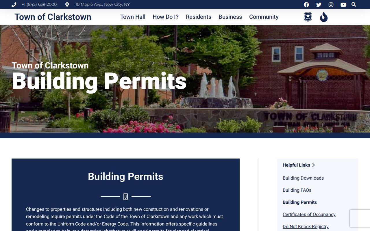
Permit material can establish a dated property process, not a conclusion about every person associated with an address.
Clarkstown Completion Records Need Context
Certificates of occupancy can help distinguish an application from completed work. The Town’s certificate procedure uses property details such as the permit number and map, block, and lot, together with final electrical approval where required. Ask Building for an existing record tied to the particular address rather than assuming all certificate material is searchable online. Compare its date and property identifiers with the parcel and permit evidence before drawing a timeline for a nearby lot.
The Clarkstown certificates-of-occupancy page identifies the property fields used by that route.
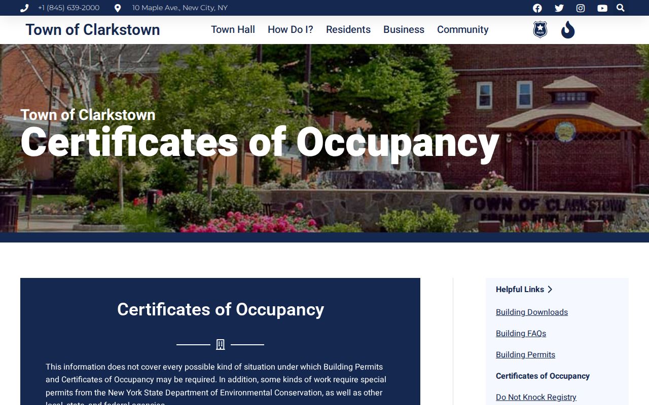
A completion record is property evidence. It does not make a claim about the present occupants of a parcel.
Clarkstown Community Research Contacts
Clarkstown has useful public community-history nodes, but the research did not find an official umbrella directory of neighborhood associations, homeowner rosters, block-watch members, or congregation lists. The proper use of these institutions is to ask for public contact information, meeting information, or historical collections, not a private membership list. They can help place a block in a community history or connect a family name to a dated source.
| Documented community node | Public research value | Public access |
|---|---|---|
| New City Library Rockland Room | Directories, telephone books, newspapers, maps, obituaries, and local-history databases | Library local-history service and reference access |
| Genealogical Society of Rockland County | Church, cemetery, funeral-home, census, and naturalization projects | Resources and Rockland Room PC through the library |
| Historical Society of Rockland County | Manuscripts, photographs, ephemera, digital publications, historic-property context | Research request and collection access under its policy |
| Neighborhood association or block-watch roster | No verified Clarkstown-wide public roster found | Research gap: seek only a group’s public contact or meeting details |
New City Library’s oral-history project adds a useful Clarkstown story layer. It has more than 100 interviews begun in 2014, including long-time residents and people who moved into Rockland. Oral history can explain a street or community change, but it should be treated as first-person context and checked against a directory, deed, roll, or court file for occupancy or ownership.
Clarkstown Voter Records Have Boundaries
The New York voter lookup is for a particular registered voter, not a browseable block roster. It asks for county, last name, first name, date of birth, ZIP, and address information, and the state says the user must be a registered New York voter. A nonmatch may reflect spelling, address, birth-date, or registration-status issues. It is not evidence that a person does not live nearby.
A full voter-file request has a separate rule. Election Law § 3-103(5) requires an elections-purpose statement and limits use of information derived from voter registration records. The state describes an ASCII comma-delimited delivery format and a 25-cent-per-page copy charge. Protected voters and Address Confidentiality Program participants may be withheld or represented by a substitute address.
Clarkstown Code Cases Need Final Dispositions
Recent Town notices make it important to separate a complaint or violation from a final record. In February 2026, Clarkstown reported a four-part code-enforcement legislative package and stated that the 2025 record year produced more than $261,000 in code-enforcement fines. The Town Attorney may prosecute matters in Justice Court and, for extreme risks, seek Supreme Court action. Those facts show why a docket can add disposition context to an address-specific Building record.
The Town’s February 2026 release is a current code-enforcement reference. It does not turn an unresolved application, complaint, or notice into a factual statement about a nearby person. Check the public court status and the specific final record before relying on it.
Clarkstown Registry Is Not a Block List
A distinct public-safety source has its own limits. The New York registry search accepts one of last name, county, or ZIP, with optional exclusions and a CAPTCHA. The research records it as an online directory for Level 2 and Level 3 entries, not an all-person list for a street. It should never be used to identify everyone around an address, and it does not replace direct official verification of a parcel or court record.
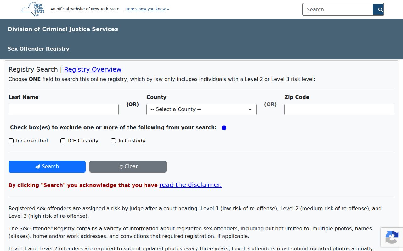
The registry’s own legal-use warning applies. Treat an entry as a limited public record, follow the source’s instructions, and never use the information to harass or harm anyone.
Clarkstown Neighbors Have Privacy Limits
A parcel map, tax roll, or deed index cannot disclose every person connected to a nearby address. Household members, guests, utility customers, delivery recipients, and protected locations are not created as a public block directory. DMV personal information is restricted. New York’s FOIL law opens existing agency records subject to exemptions, and the Address Confidentiality Program can substitute a mailing address for eligible people and qualifying household members. An apparent absence is not proof that someone has left Clarkstown.
| Official public-record path | Commercial compiled category |
|---|---|
| Shows a defined record from a named custodian with a stated correction route. | May combine old addresses, marketing data, property filings, and other sources. |
| Can distinguish parcel ownership, a recorded transaction, or a dated permit when the record supports it. | Can merge people with the same name, retain stale information, and omit protected participants. |
| Requires a source-by-source check before a fact is relied upon. | Provides leads that still need verification with the official custodian. |
Lawful use. Clarkstown neighbor research is for personal, lawful research, community history, civic transparency, or personal safety. Using an address or name to stalk, harass, threaten, or intimidate someone can be criminal conduct under New York law.