
Walk a Clarkstown Street by Address
A street search starts with a parcel, not a presumed household. The Town Assessor can identify the assessed owner, situs address, mailing address, parcel identifier, deed book and page, values, use, and building characteristics. That is useful public evidence, but it does not establish every person at the location. Keep the address exactly as each source presents it. The County Clerk cautions that its section, block, and lot references are not verified, so the assessor is the place to confirm the current parcel identifier before treating it as a deed-search key.
- Enter the known number and street in the Clarkstown assessment search. Save the situs address, parcel ID, assessed owner, tax mailing address, and deed reference.
- Locate that parcel in Rockland Base Map, then browse the street segment and compare the surrounding parcel polygons one at a time.
- Use the current owner, deed book and page, or legal description in the County Clerk’s indexed-record search to find the recorded transfer.
- For an identified voter, use the state tool only within its stated registration and election-purpose limits. It is not a public street roster.
- For a dated household clue, ask the Rockland Room for the address in its Cross Reference Directories and compare nearby years.
The order matters. It keeps a map polygon, a tax-mailing address, a recorded party, and a dated directory entry from being blended into one unsupported claim. Note: Save the source date beside every result, because the current roll, deed index, map layer, and historical volume do not update on the same schedule.
Clarkstown Street Directory Search Fields
The Town of Clarkstown assessment search is a three-path form. It uses an owner surname, a parcel legal address, or a parcel ID, rather than a set of fields that must all be filled out together. For an address search, the Town’s own example is 55 Maple. Omit Street, Road, Avenue, and their abbreviations. The form does not expose a ZIP filter, so a street number and name are the practical starting point for the Clarkstown street directory.
| Assessment field | Input type | How it works | Street-search note |
|---|---|---|---|
| Owner Name (Last Name) | Text | Optional alternative | Use the assessed surname when an address result has supplied it. |
| Parcel Legal Address | Two text fields | Optional alternative | Enter number and street, omitting the street-type suffix. |
| Parcel ID | Text | Optional alternative | Copy the identifier exactly from the assessor or supporting record. |
| Search | Submit button | After one alternative | Use one mode at a time, then verify the returned parcel with the Assessor. |
A result can show an assessed owner that is an individual, trust, corporation, or other entity. The mailing address can point away from the physical parcel. Treat it as correspondence information and a possible next research lead, not proof that a person lives at that mailing location.
Clarkstown Street Parcels on the Map
Rockland County’s GIS Portal provides the mapping gateway for the Base Map and related applications. County documentation identifies address and Tax ID searching, tax parcels, roads, municipal boundaries, election and political districts, historic resources, land use, environmental information, and topography. Search the known address, turn on parcels and roads, zoom to the segment, and click adjacent polygons individually. That is the documented way to work along a street. A named radius or automatic adjacent-parcel export was not documented in the researched public materials.
The Rockland GIS gateway is shown below as an entry point to its mapping applications and downloads.
The map is a discovery tool. Verify an individual parcel’s ownership and current identifiers in the Assessor database before relying on a label from the map.
The separate Clarkstown public tax-parcel service supplies annual tax-parcel geometry and limited tax ID information. Its metadata says it does not include the Assessor database. That separation is important on a long street, where a map can organize the parcels but the assessment record supplies the owner-related fields. County and Town map notices also say the layers are not a precise legal-boundary determination.
The Clarkstown parcel service illustrates the public parcel-layer source used for a street-by-street map pass.
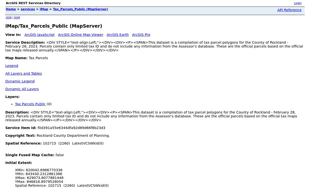
Use the map tax ID as a cross-check, then reopen the parcel in the assessment search when the map and deed index appear to use different identifiers.
Three Clarkstown Address Labels
Clarkstown street records use three different kinds of address information. Separating them prevents a common mistake: treating a place where tax mail goes as the location of the building, or treating a legal lot description as a postal address. The same distinction matters when New City, Nanuet, Nyack, Upper Nyack, West Nyack, or another hamlet or village label appears in one record and the deed uses Town of Clarkstown.
- Situs address
- The physical parcel or building location. Assessor, GIS, and Building records commonly key on it.
- Tax mailing address
- The address used for assessment and tax correspondence. It may be outside Clarkstown or tied to an estate, representative, or other owner contact.
- Legal description
- The section, block, lot, subdivision, or metes-and-bounds language used in land records. It can survive a changed street number.
- Plat
- A recorded subdivision or parcel map that helps connect a lot or block to a later street address.
- Criss-cross directory
- An address-first directory, useful for a dated occupant clue rather than current official proof.
Clarkstown is not one uniform urban grid. Official planning material identifies Bardonia, Central Nyack, Congers, Nanuet, New City, Rockland Lake, Valley Cottage, and West Nyack, along with Upper Nyack and portions of nearby village geography. Search the source’s exact hamlet, mailing city, and legal jurisdiction instead of assuming they are interchangeable.
Clarkstown Street Deed Chain
The Rockland County Clerk’s indexed-record system is the recorded-document step after the parcel is confirmed. Search the assessed owner, deed book and page, or a recorded party. A grantor is the party transferring an interest, and a grantee is the party receiving it. Record the instrument type, recording date, book and page or document number, legal description, and section-block-lot reference. Then search the prior seller as a grantee in earlier years while keeping the legal description in view.
This process traces a property interest, not a complete occupancy history. Mortgages, discharges, liens, judgments, and subdivision maps can clarify an event or a parcel split, but do not by themselves prove where a named party lived. The Clerk’s landing page also does not state an exact online-image cutoff for every document type. When an online trail stops, use the Clerk counter or the County Archives rather than assuming the older record does not exist.
For a person-centered confirmation after an address trail narrows the question, use the Clarkstown resident lookup approach instead of extending a street search beyond what the address records can support.
Clarkstown Street Records Since 1798
Rockland’s record depth is a useful historical measure for a Clarkstown street directory search. The County reference guide lists deeds and mortgages from 1798 to the present, subdivision maps from 1800 to the present, census books from 1800 to 1925, naturalization papers from 1812 to 1991, and tax and assessment rolls from 1855 to 1964. Those are different series with different access paths. They are not one continuous online street index.
The County Clerk offers a digital search, courthouse assistance, and recorded-document services. Older material can require the Rockland County Archives reference collection in Pomona, while the New City Library and local historical organizations supply complementary address and surname context. Clarkstown became a town in 1791 and Rockland County formed in 1798, so a very early land trail may require an Orange County or pre-county search as well.
Note: Match the date range to the keeper before requesting copies, because an archive list, a courthouse index, and an online image collection may cover the same subject differently.
Clarkstown Street Permit Files
Clarkstown Building keeps address-linked permit and Certificate of Occupancy material. A file may contain an owner or applicant name, address, survey, plot plan, construction drawings, electrical inspection filing, permit placard, approvals, and final Certificate of Occupancy information. Certificate applications can include an owner name and address, permit or certificate number, map-block-lot, and final electrical approval. These fields put dates and documented work on a property, but a filing should not be turned into a broad claim about a household.
No complete public, address-queryable Town permit database was found in the researched official material. Request an existing file from Building at Town Hall, Room 101, or submit a narrow request through the Town’s records process. Give the street address, date span, and desired existing records such as permit number, work description, inspection, or final approval. The Town’s FOIL rules require a written request that reasonably describes the records and call for a grant, denial, or acknowledgment within five business days.
Clarkstown Street Directory in Print
The New City Library’s Rockland Room holds Rockland Cross Reference Directories for 1978 through 1999. These reverse volumes run from an address or street toward a dated occupant clue, making them the strongest documented local historic street tool. Preserve the directory year, street abbreviation, initials, and any unit detail. Check adjacent volumes rather than treating a single entry as proof of a continuous household.
The New City Library local-history collection also holds Rockland County telephone books from 1910 through 1998 on microfilm, along with maps, newspapers, family histories, census material, and an obituary-request service. The Rockland Room has its own limited public hours, so confirm access before a visit or ask staff for an address and hamlet search. Historical address work belongs there; for the current parcel and map chain, return to the Assessor and GIS sources.
Old printed labels deserve the same geography check as a deed. A post-office city or a hamlet name may not answer the town or village jurisdiction. The Clarkstown ZIP code directory explains how to compare postal geography with the parcel map.
Clarkstown Street Records by Source
Each source answers a different address question. The assessment roll is the current parcel anchor. GIS organizes the street and surrounding parcel geometry. The Clerk’s index links recorded parties to legal descriptions. Building records date projects and approvals. A historical directory can add a dated address clue. Start with the source that matches the question, then preserve its limits when comparing results.
| Street record | Keeper | What it can show | Access route |
|---|---|---|---|
| Current assessment | Clarkstown Assessor | Assessed owner, situs and mailing address, parcel ID, values, use, deed reference | Free owner, address, or parcel search; counter or phone |
| Parcel and road map | Rockland Planning GIS | Parcel geometry, streets, boundaries, districts, and context layers | Public Base Map; address or Tax ID search |
| Recorded land documents | Rockland County Clerk | Grantor, grantee, legal description, date, book/page, maps, and related instruments | Online index, courthouse, or copy request |
| Permit and CO files | Clarkstown Building | Address, applicant or owner, work, inspection, and final approval | Building counter or narrow records request |
| Cross Reference Directories | New City Library Rockland Room | Historical address-to-occupant clues from 1978–1999 | Physical reference collection |
The state voter tool requires county, name, date of birth, ZIP or address information for an identified registered voter. A broader voter-file request has an elections-purpose statement requirement under Election Law § 3-103(5). That restriction means a public street walk should not promise a list of everyone on a road.
Clarkstown Street Directory Limits
No Clarkstown street record provides a complete list of everyone connected to a property. Assessment evidence centers on a parcel and assessed owner. A tax mailing address may name an agent, attorney, estate, trust contact, or owner located elsewhere. Historical directories and telephone books have their own omissions and dates. Private utility and delivery information is not a public source, and motor-vehicle address information is restricted. Court files can also be sealed or otherwise unavailable.
New York’s Address Confidentiality Program can supply a substitute mailing address for eligible participants, and confidential voter registration can protect voter information. An absent address or Albany mailing address is therefore not proof that a person has moved away. Confirm the source, date, and access rule with the custodian instead of filling a gap with an inference.
Lawful use. Address and property records are for personal, lawful research. Do not use them to stalk, harass, intimidate, or harm anyone.