
Clarkstown ZIP Code Coverage
Six delivery ZIP codes surfaced in official Town, County, park-address, and USPS material for Clarkstown hamlets and portions of related village geography. They are delivery labels, not municipal lines. An exact street address controls where mail is assigned, while an assessor record and the municipal-boundary layer identify the parcel context. Use the USPS ZIP Code Lookup for delivery confirmation before combining a postal result with Clarkstown records.
| ZIP code | Clarkstown area | Post-office evidence | Research note |
|---|---|---|---|
| 10920 | Congers, including Rockland Lake-area addresses | Congers Post Office | Congers is a Clarkstown hamlet; nearby facilities can use other ZIPs. |
| 10954 | Nanuet and Bardonia | Nanuet Post Office and Bardonia address evidence | Postal coverage reaches beyond a hamlet’s colloquial core. |
| 10956 | New City and the county-government center | New City Post Office | Town Hall, courthouse, and New City Library use this postal label. |
| 10960 | Nyack and related nearby village geography | Nyack Post Office | Check the precise street because town and village geography can differ. |
| 10989 | Valley Cottage and Rockland Lake vicinity | Valley Cottage Post Office | Postal assignment can include adjacent unincorporated areas. |
| 10994 | West Nyack | West Nyack Post Office | Large commercial locations can have a ZIP+4 or specific delivery address. |
Do not treat nearby alternate ZIPs as normal Clarkstown codes without an exact address check. The research did not support using 10952, 10977, or 10913 as ordinary Clarkstown ZIPs merely because they are geographically nearby. Note: Keep the USPS result beside the parcel record, because delivery geography and legal jurisdiction answer different questions.
Six Clarkstown ZIP Code Anchors
New City 10956 is a practical starting point because the Town Hall, county courthouse, county-government center, and New City Library all use that postal designation. It is an anchor for locating government offices and local history resources, not a shorthand for the whole Town of Clarkstown. A result carrying New City can still need a parcel and municipal-boundary check before it is joined to a town or village record.
The USPS New City location provides the official facility context for 10956.
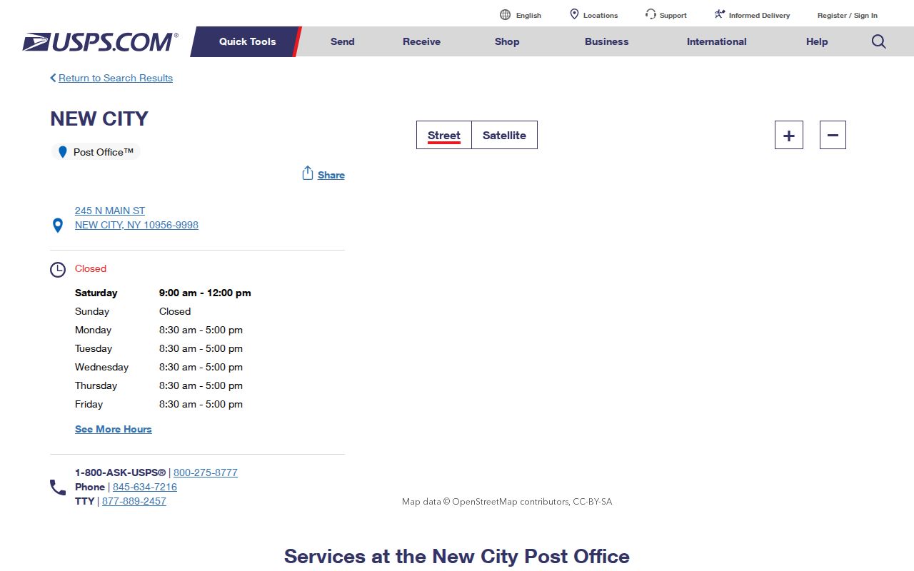
The facility page helps verify the postal side of an address. It does not replace the Assessor or County GIS when the question concerns a parcel.
Nanuet 10954 also needs a close read. The research connects it with Bardonia as well as Nanuet, so the mailing city alone does not answer the hamlet, village, or Town jurisdiction. Enter the complete address in USPS, then compare that result to the Rockland map and the legal description in a recorded document.
The USPS Nanuet location is the source illustrated for the 10954 delivery area.
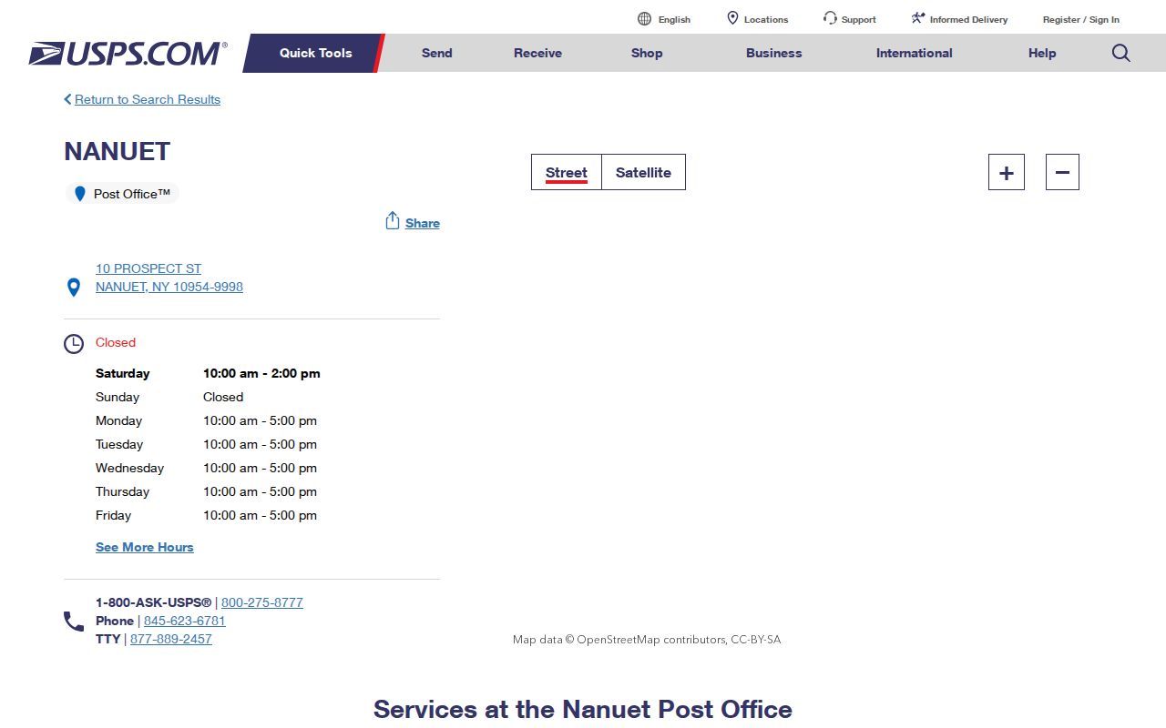
The Nanuet evidence is a useful postal check, while the street-level record chain remains the way to distinguish a particular parcel.
Clarkstown ZIP Code and Town Lines
ZIP boundaries and Town boundaries are separate systems. Nyack 10960 can cover Village of Nyack, Upper Nyack, and geography connected with Clarkstown, so an address with a Nyack mailing label needs a parcel-map and municipal-boundary review. West Nyack 10994 and Valley Cottage 10989 are post-office designations that can reach addresses near town or village lines. A deed may say Town of Clarkstown even when a newspaper or telephone book uses a different post-office city.
Use three independent checks: the USPS delivery result, the County GIS municipal-boundary layer, and the assessor or recorded legal description. Rockland Base Map can search by address or Tax ID and display municipal, election, political, historic, land-use, environmental, and topographic layers. The map is valuable for comparing geography, but County and Town notices say it is not a precise legal-boundary instrument. For a current address chain after that comparison, use the Clarkstown street directory workflow.
Boundary check. A matching ZIP and post-office city confirm delivery geography, while the assessor parcel and legal description identify the governmental record context.
Clarkstown ZIP Code Search Fields
Local official tools do not provide one general ZIP-wide resident list. The Clarkstown assessment form has no exposed ZIP field, and Rockland Base Map documents address or Tax ID searching rather than a ZIP filter. The New York voter lookup displays a ZIP field within an individual registration search, but it requires a particular person’s county, name, and date of birth. It cannot be used to browse a postal area.
| NYS voter field | Input type | Requirement | ZIP research limit |
|---|---|---|---|
| County | Dropdown | Required | Choose Rockland County for Clarkstown. |
| Last Name | Text | Required | Use the registration spelling for one identified person. |
| First Name | Text | Required | Paired with the other identity fields. |
| Date of Birth | Date or text | Required | Use the stated month/day/year format. |
| ZIP Code and address information | Text fields | Displayed | Supports identity and address checking, not a ZIP-wide roster. |
Registration data requests are subject to Election Law § 3-103(5) and an elections-purpose statement. The official lookup is for a registered voter’s own status, poll site, and related information, not a directory of a ZIP area.
Find Clarkstown Records by ZIP
A ZIP can narrow the geography of a record search, but the local process becomes address and parcel based after the first step. USPS is the final delivery verifier. The Assessor then confirms the parcel’s situs and tax mailing information, while GIS places it against municipal and district layers. The County Clerk supplies the legal description and recorded-party trail. That sequence avoids treating the five-digit code as a substitute for a street or parcel identifier.
- Enter the complete street address in USPS ZIP Code Lookup. Retain the returned ZIP+4 and post-office city for comparison.
- Search the Clarkstown Assessor with the number and street, omitting the street-type suffix. Compare the situs and mailing ZIP after the record opens.
- Search Rockland GIS by address and inspect the parcel, municipal-boundary, district, and road layers.
- Use the owner or address in the County Clerk index, then verify section, block, and lot against the Assessor because the Clerk warns its references may not be verified.
- For a historical ZIP-area clue, ask New City Library staff for the address in cross-reference or telephone volumes and preserve the publication year.
The Clarkstown Assessor, Rockland GIS Portal, and County Clerk index are separate sources with separate roles. Do not expect a ZIP filter from the first two where the public research found none.
Clarkstown ZIP Code in Historic Volumes
Postal labels are dated evidence in historical work. New City Library’s Rockland Room holds county telephone books from 1910 through 1998 and Cross Reference Directories from 1978 through 1999. A telephone entry can show a subscriber name, address, and phone number. A cross-reference volume can connect an address to a dated occupant clue. Neither series is a complete list, and an older post-office label should not be read as today’s municipal line.
The New City Library local-history collection combines those volumes with maps, newspapers, census resources, family histories, and an obituary-request service. Give staff the complete address, alternate hamlet or post-office name, and a year range. For older parcels, pair a directory year with a deed, assessment roll, census entry, or map rather than relying on the postal label alone.
Note: Record the volume year and the exact post-office wording, because a later ZIP lookup cannot retroactively define a historical mailing label.
Clarkstown ZIP Code Postal Geography
Valley Cottage 10989 is a clear example of postal geography rather than a town line. Town park addresses and USPS evidence connect the code to Valley Cottage and the Rockland Lake vicinity, while delivery may include adjacent unincorporated areas. West Nyack 10994 also has a distinct post-office identity, and commercial locations can use a ZIP+4 or particular delivery address. Each result still needs the street, parcel, and jurisdiction check.
The USPS Valley Cottage location supplies the facility evidence for the 10989 area.
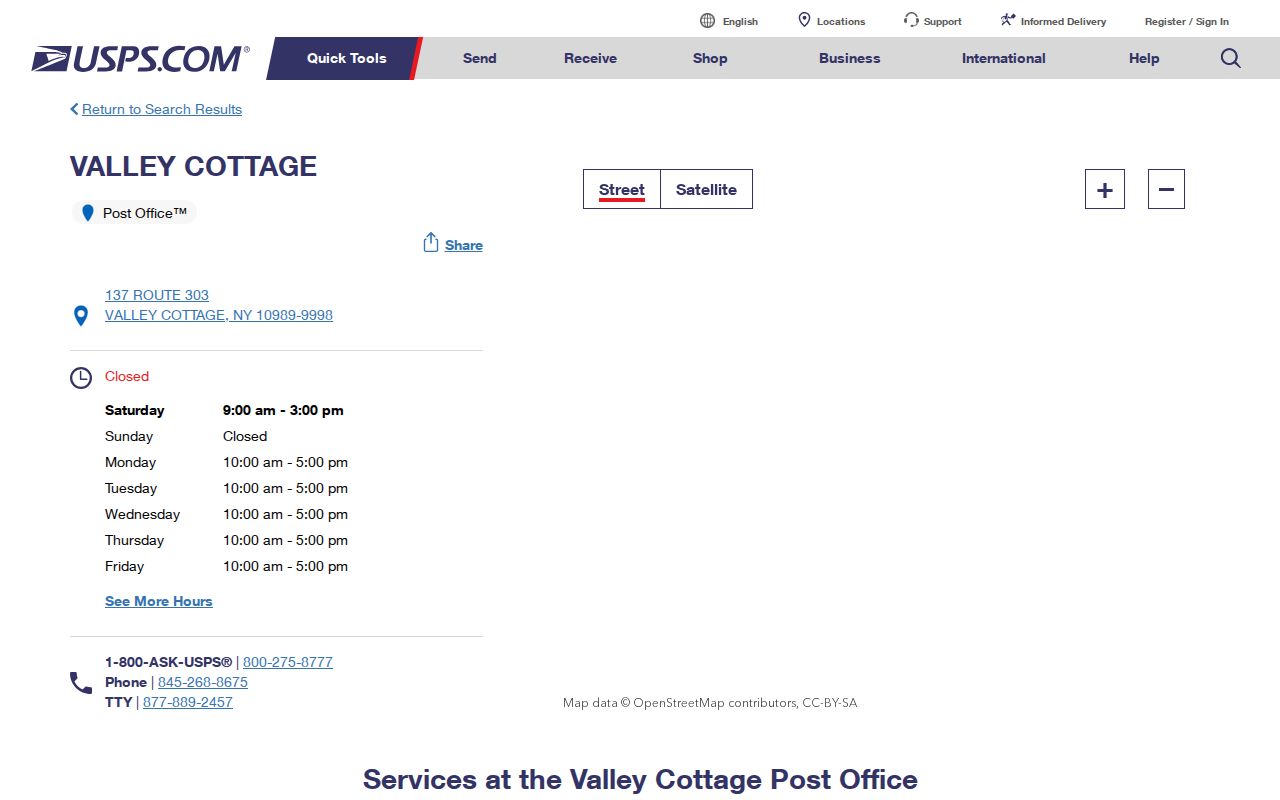
The location page verifies the post-office side of the record. It should be paired with the complete-address lookup and local parcel sources when an address sits near a boundary.
Clarkstown ZIP Code History Gap
No official dated ZIP split, realignment history, or ZIP-level population and registration series was located for Clarkstown. That is a useful limit, not a blank to fill with a guess. A mailing label that changes across two dated sources may reflect a postal assignment, a changed street representation, a different post-office convention, or an address correction. The research does not support assigning an unverified change year or population pattern to a local ZIP.
When a historic address appears not to match a current code, test the hamlet name, route number, cross street, section-block-lot, legal description, historic-road layer, 1876 or 1891 atlas, subdivision map, and library directory evidence. This preserves the known record trail without pretending Clarkstown has a documented postal-realignment timeline.
Clarkstown ZIP Code Source Limits
A ZIP code is useful shorthand, but it cannot identify the municipal jurisdiction, every person at an address, a current assessed owner, or a legal boundary. Some official records with an address are restricted, and New York’s Address Confidentiality Program can use a substitute mailing address for eligible participants. A missing or different postal result is not proof that a person has moved, and a map label should not be treated as a survey or title conclusion.
- ZIP Code
- A USPS delivery designation for an address or delivery area. It is not a municipal boundary.
- ZIP+4
- An added delivery detail returned for a complete address. Keep it with the USPS result when comparing sources.
- PO-box ZIP
- A ZIP used for post-office boxes. It does not establish the physical location of a parcel.
- Unique ZIP
- A code associated with one organization or delivery arrangement, not a general map of local jurisdiction.
- Carrier route
- A delivery-routing grouping that helps mail handling but does not define a Town or village line.
Use postal details for delivery verification and organization. Use the Assessor, GIS, County Clerk, and the appropriate custodian for the separate question each one can answer.